
Workshop Instructor: Ar. Parvathy Kartha & Ar. Ganesh Babu
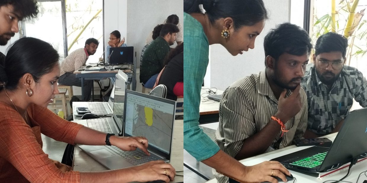
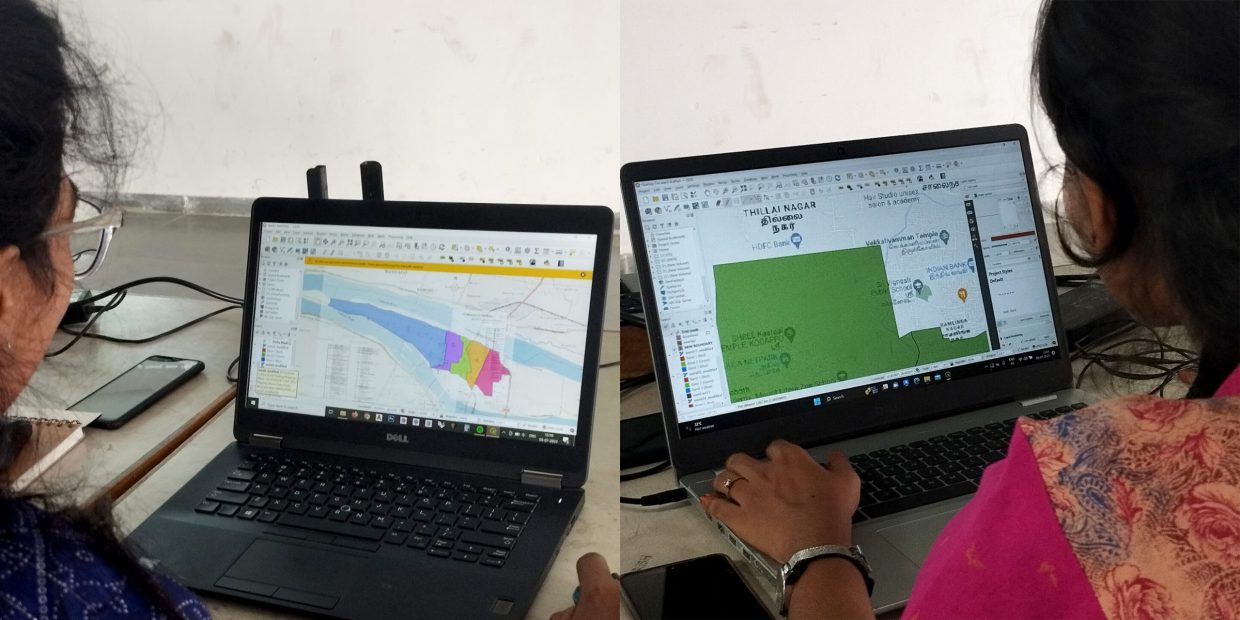
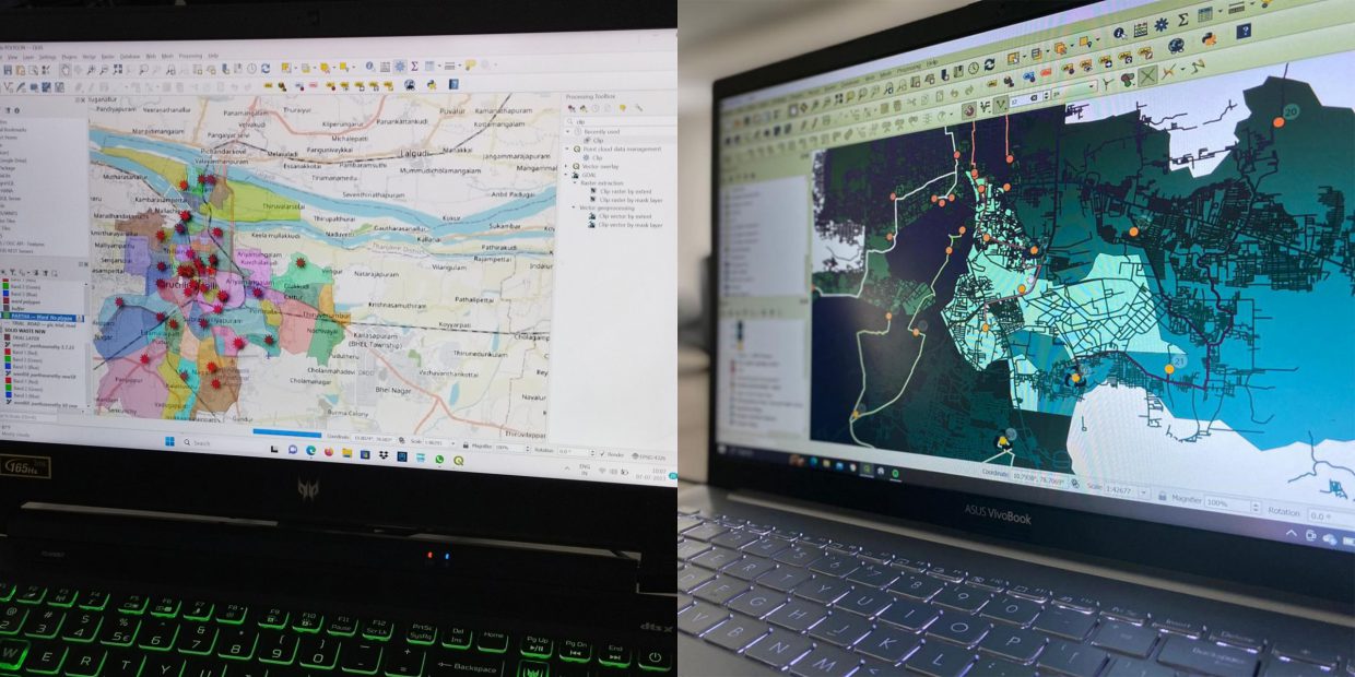
This intensive workshop delved into Geographic Information Systems (GIS), focusing on the practical analysis and interpretation of location-based data. Participants engaged in hands-on activities, from mapping local points of interest to understanding spatial trends, gaining practical insights.
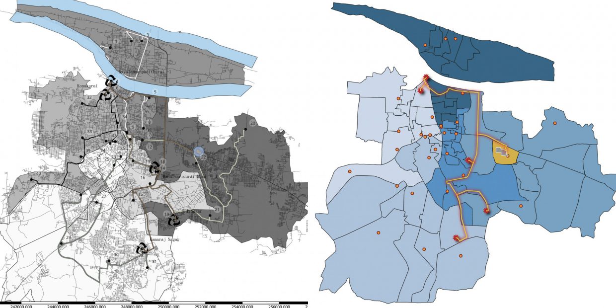
Students worked directly with data, learning how to effectively convey complex ideas through compelling maps. The curriculum emphasized geospatial analysis, revealing hidden patterns and enabling informed decision-making based on location data. This skill set finds wide-ranging applications, from urban planning to disaster management.
The workshop culminated in independent projects, allowing participants to apply their skills in practical scenarios. This experience not only enhanced technical proficiency but also underscored the practical impact of GIS and data visualization in addressing real-world challenges.

